
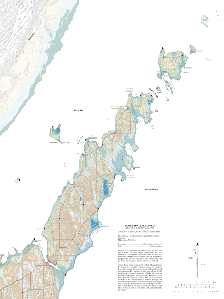
We have a new map in the store today. It’s a map of Door County that prints to 18 x 24 inches in portrait orientation. I have it at $15 for the digital download and if you want it printed and framed, I’ll have that available soon. I will warn you that I’m not fast at printing and framing so I’ll ship them as quickly as I can.
Door County
Map of Door County — Sturgeon Bay to Rock Island State Park. Digital download prints to 18 x 24″ portrait orientation.
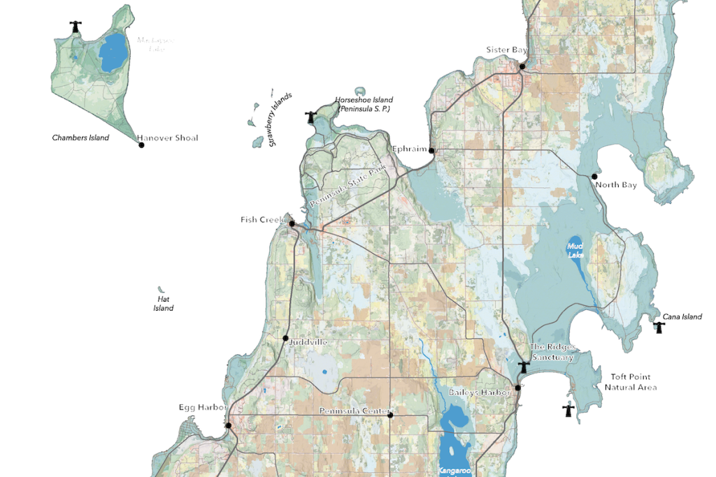
This map was inspired by a trip we took to the county over Thanksgiving weekend with our friends the Giovannettis. The landscape around Door county is so striking and I couldn’t find a good relief map that also put names on the parks, cities, towns, and islands, so I made one for myself. This doesn’t include any contour lines. Instead I layered the National Land Classification Database’s land use data for the county over a plain hillshade to give a sense of how the land’s topography and the diversity of use. If you look close you can see the ridges along the lakeshore and the erratic shapes of the sand dunes at Whitefish Dunes State Park. It’s scaled such that one inch equals approximately 2.25 miles (1:15000).
My next project, inspired by these old Mississippi river meander maps, is to visualize the different ranges of ice coverage on the great lakes. The National Ice Lab has data on this going back to 1973 so I’m thinking about how to visualize all these polygons and preserve the information they’re trying to convey. Definitely plenty to experiment with.

Leave a Reply